The Tuolumne River
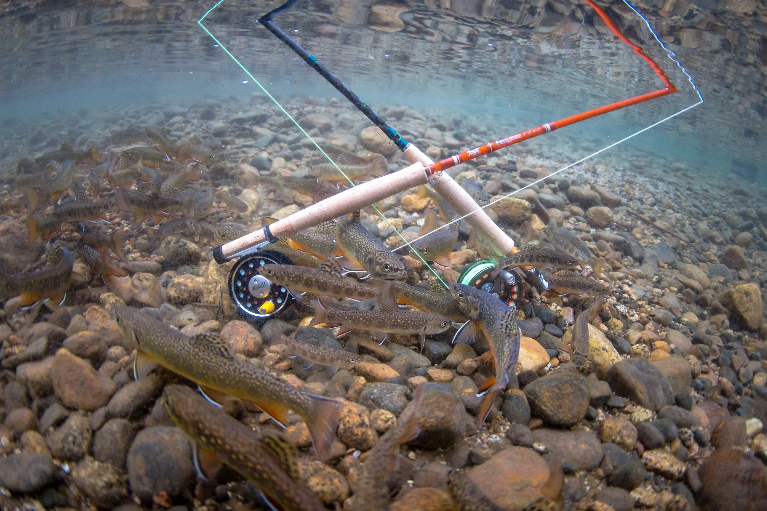
The Tuolumne River flows for about 150 miles from the Central Sierra Nevada, into the Joaquin River near Modesto, California. It's a very diverse river that has both freestone and tailwater sections with good populations of wild trout. The Tuolumne River system consist of the South, Middle, and North Forks. Both the main stem of the river and its three forks have numerous tributary streams. Fly fishing the Tuolumne River can range from easy to very difficult.
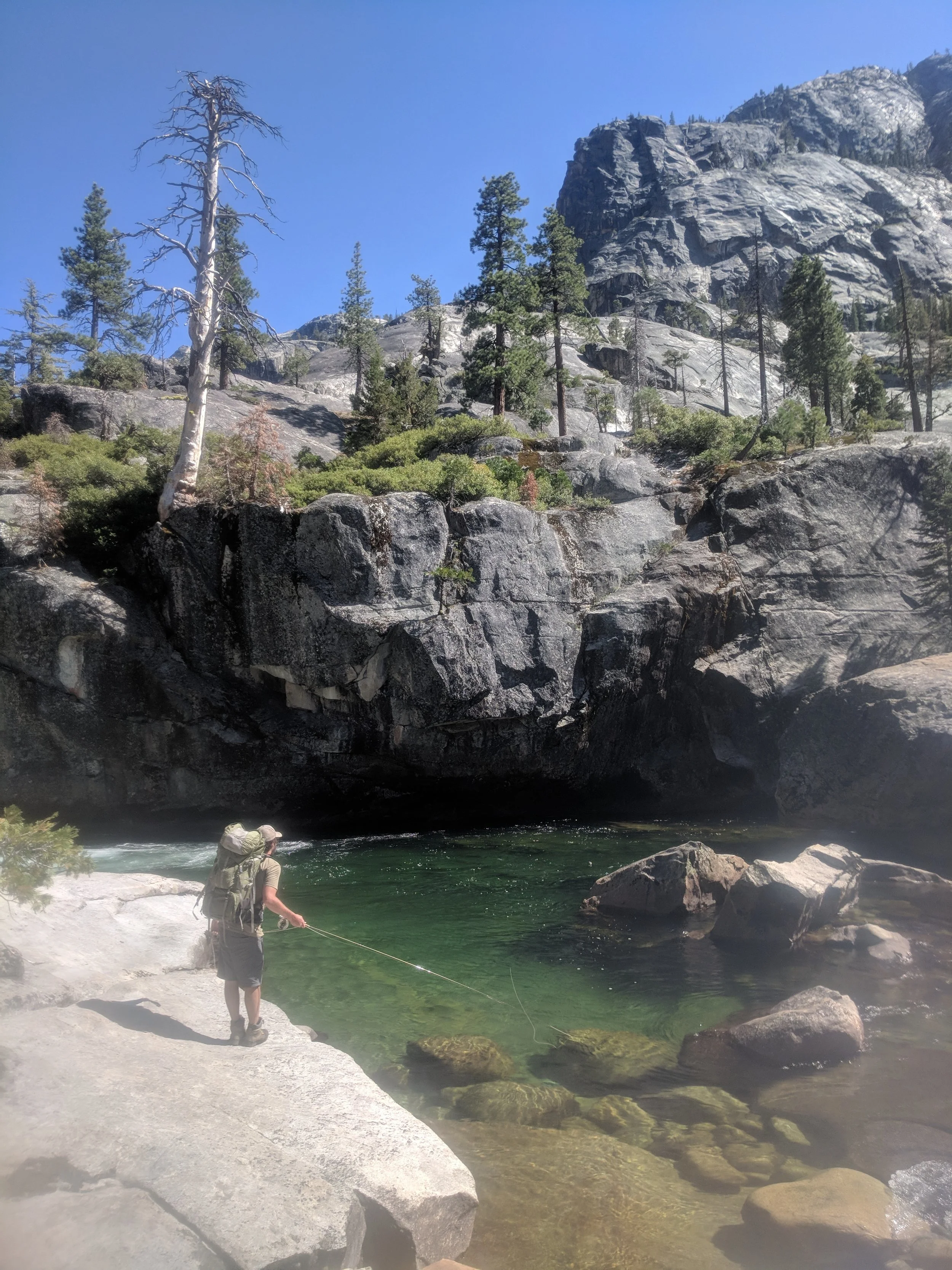
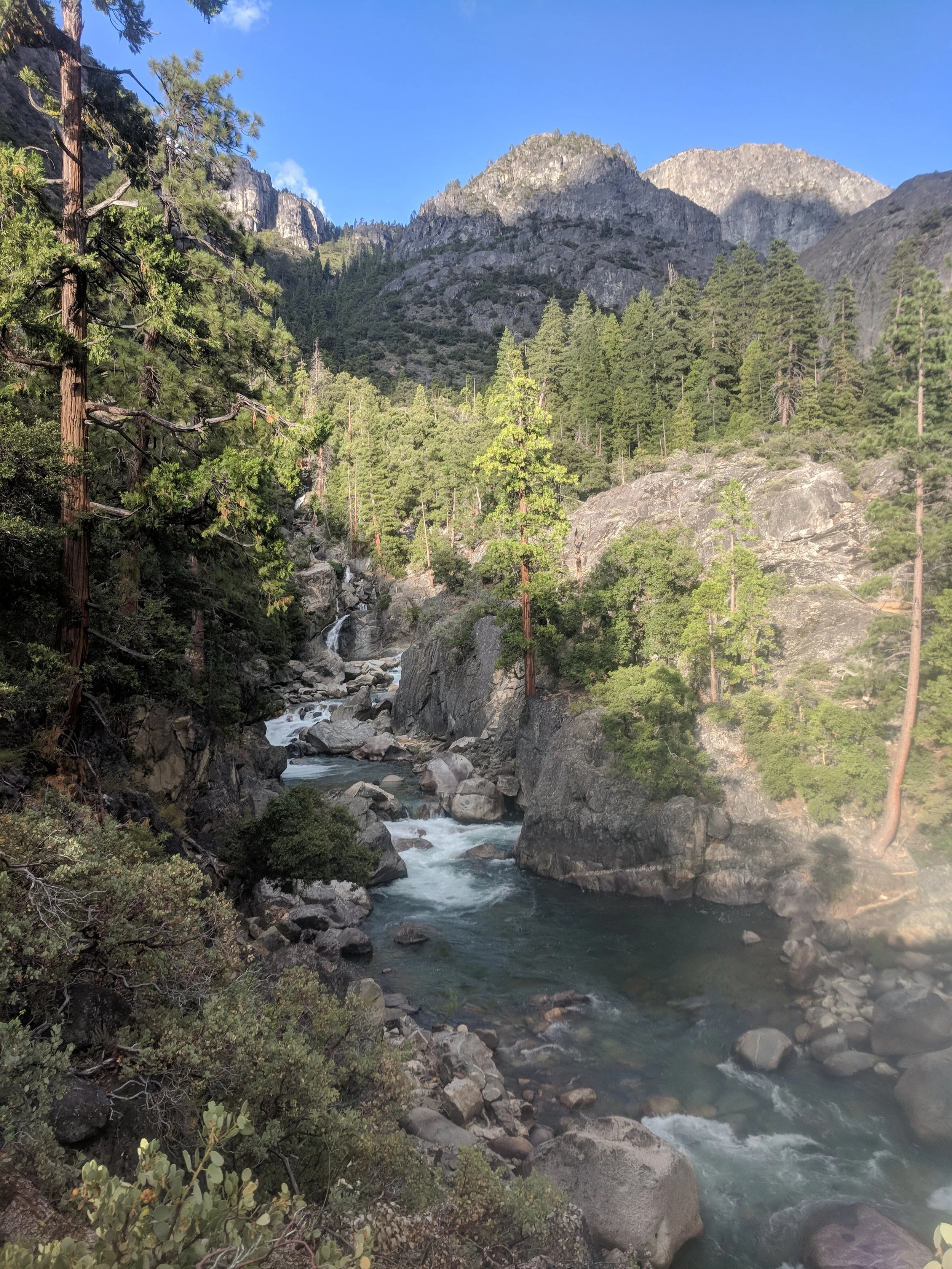
The Tuolumne River is formed by the confluence of the Dana and Lyell Fork in Tuolumne Meadows. Cold Canyon and Conness Creeks join below the meadows and the river flows through beautiful Glen Aulin Valley. From there the river flows into the rugged Tuolumne Canyon for a distance of about 25 miles and drops 4000 feet in elevation. Below the canyon, the river flows into Hetch Hetchy Reservoir. Return, Paiute, Rancheria, and Falls Creeks are more tributary streams.
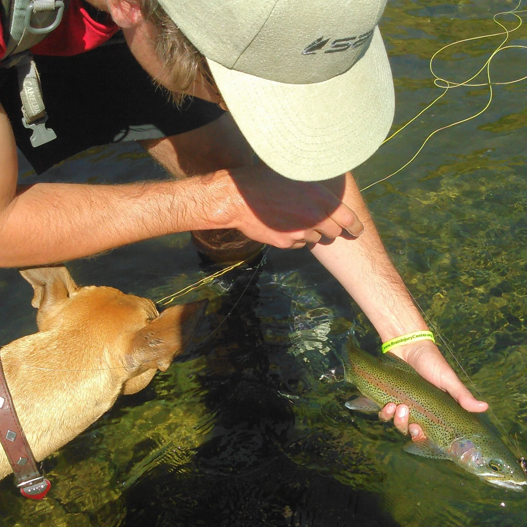
Below the O’Shaughnessy Dam, the Tuolumne River can be an excellent fishery for trout. The discharges vary greatly and the fishing methods depend on the flows. The hike in is one of the steepest sections of trail in the park and is known for a large population of bears and rattlesnakes. The Tuolumne River meanders through Poopenaut Valley before leaving Yosemite National Park and entering Stanislaus National Forest. The Tuolumne River between Kirkwood Powerhouse and Don Pedro Reservoir is one of California's premier whitewater rivers.
The South Fork of the Tuolumne River has both stocked and wild trout, with road access. The river starts in the high country of Yosemite National Park and flows to where Highway 120 meets it. It flows through a deep canyon beyond this point, most of which is inaccessible.
The Middle Fork of the Tuolumne River starts at about 8000 feet and flows into the South Fork outside Yosemite National Park. It’s primarily accessed off Evergreen road. Cherry Creek and Eleanor Creek both provide additional trout fishing opportunities. Cherry Creek is a fast water stream that flows out of the Emigrant Wilderness. Its headwaters are only accessible by hiking. It is dammed to form Cherry Lake and the tailwater section flows into the Middle Fork. It's a world class V+ whitewater rafting stream but has plenty of rainbow trout.
The North Fork of the Tuolumne River starts near Dodge Ridge and is followed closely by Highway 108. It flows through Stanislaus National Forest as well as private land before joining the main stem of the Tuolumne above Don Pedro Reservoir.
The tailwater section below Hetch Hetchy Reservoir is a steep and remote canyon with little access. It eventually flows into Lake Don Pedro. Below Lake Don Pedro, you'll find even more fly fishing opportunities on the lower river.